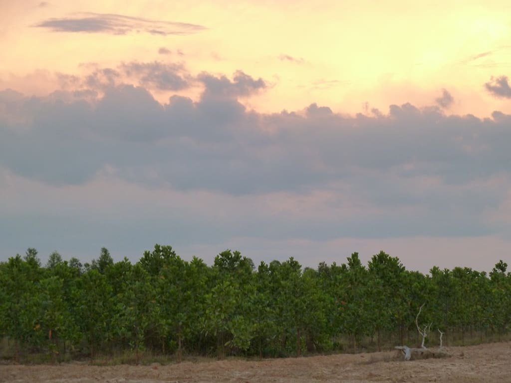
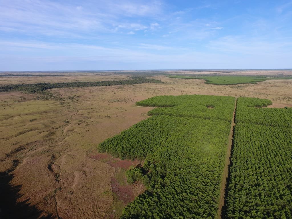
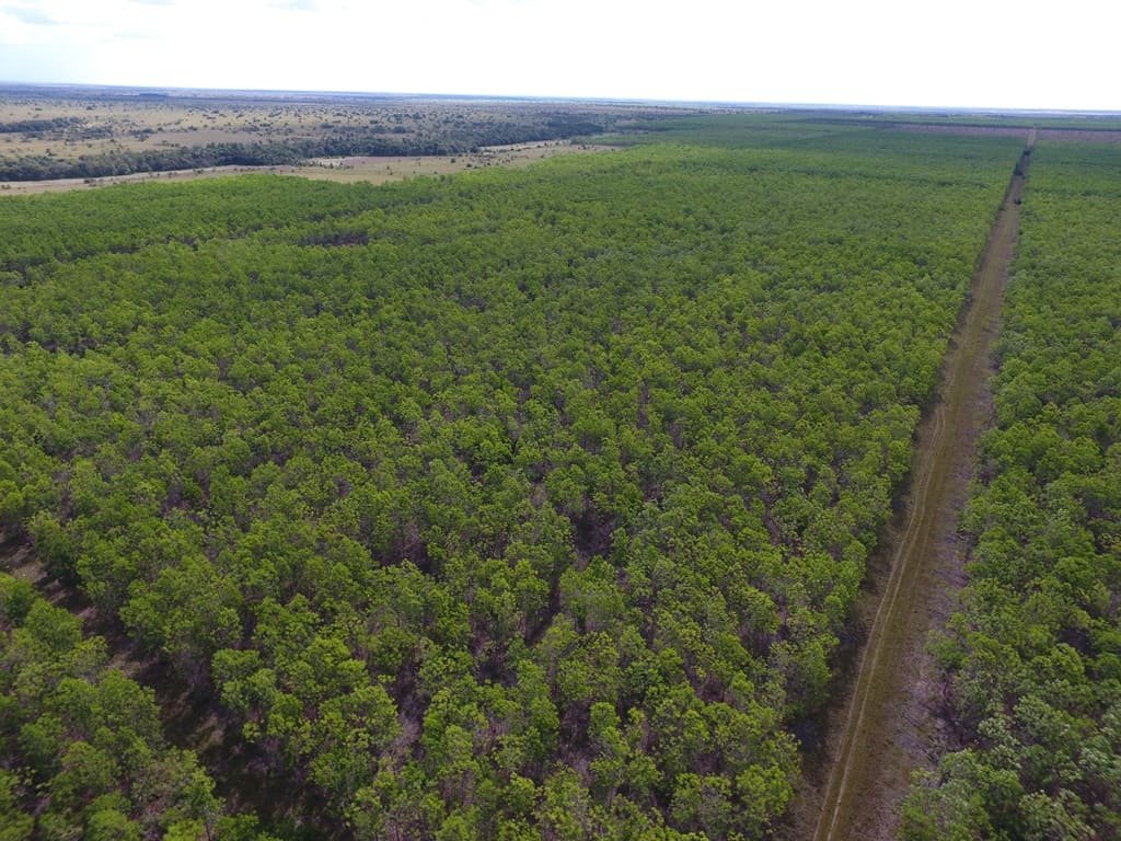
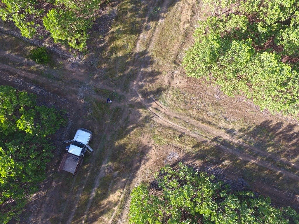
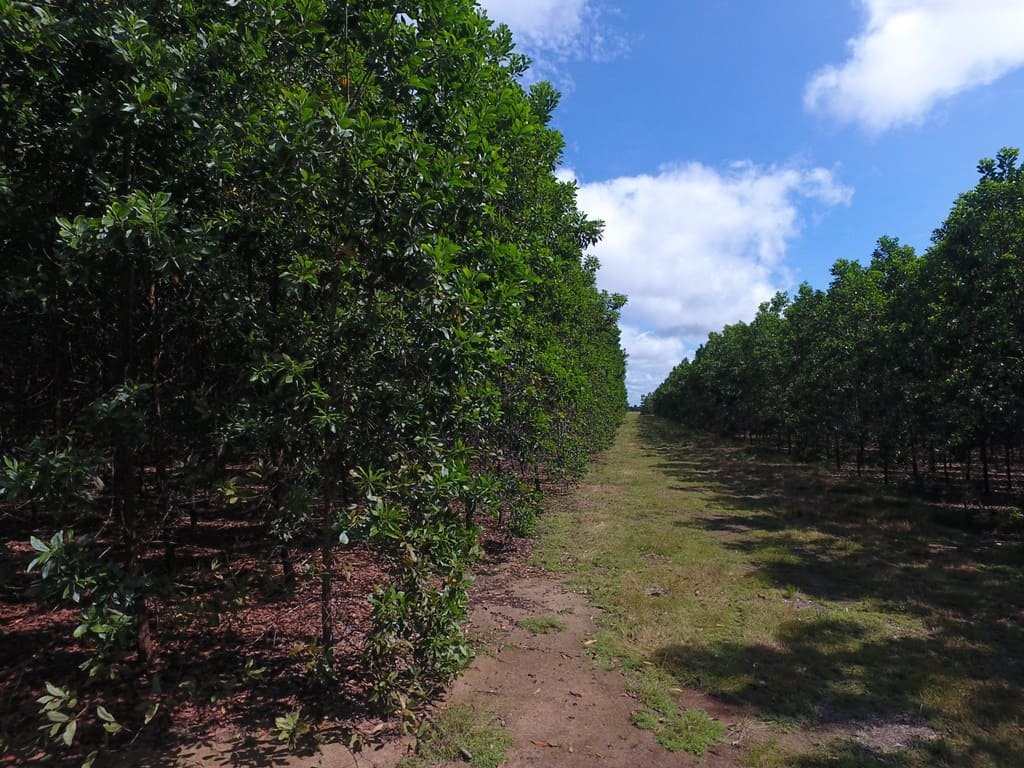
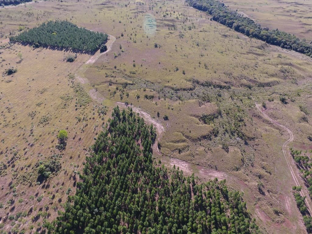
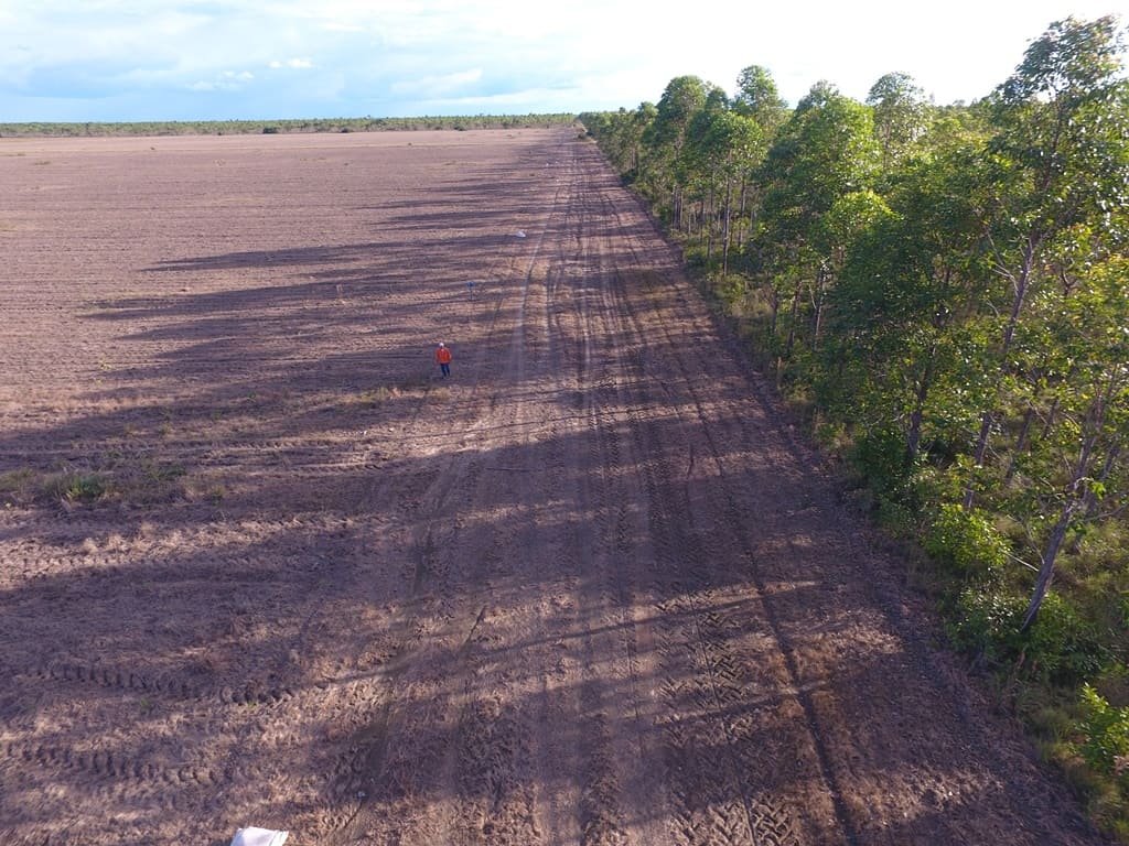
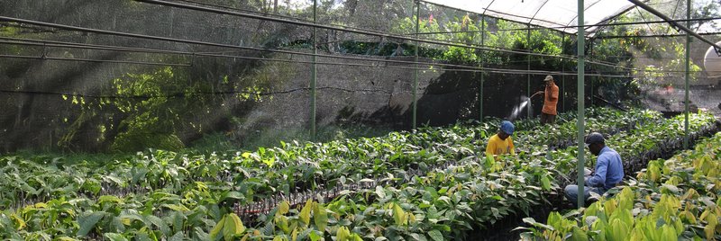
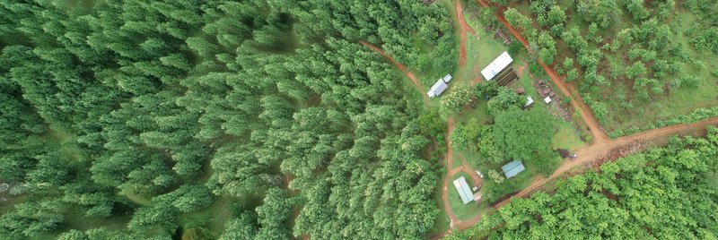
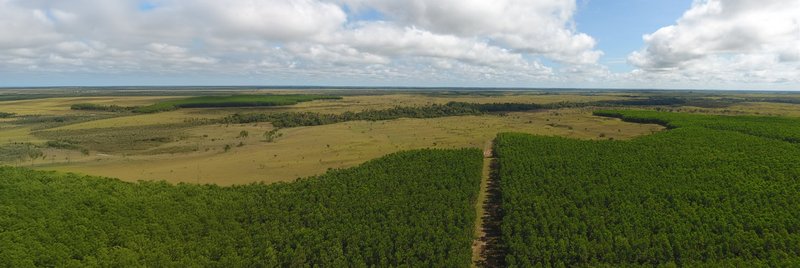
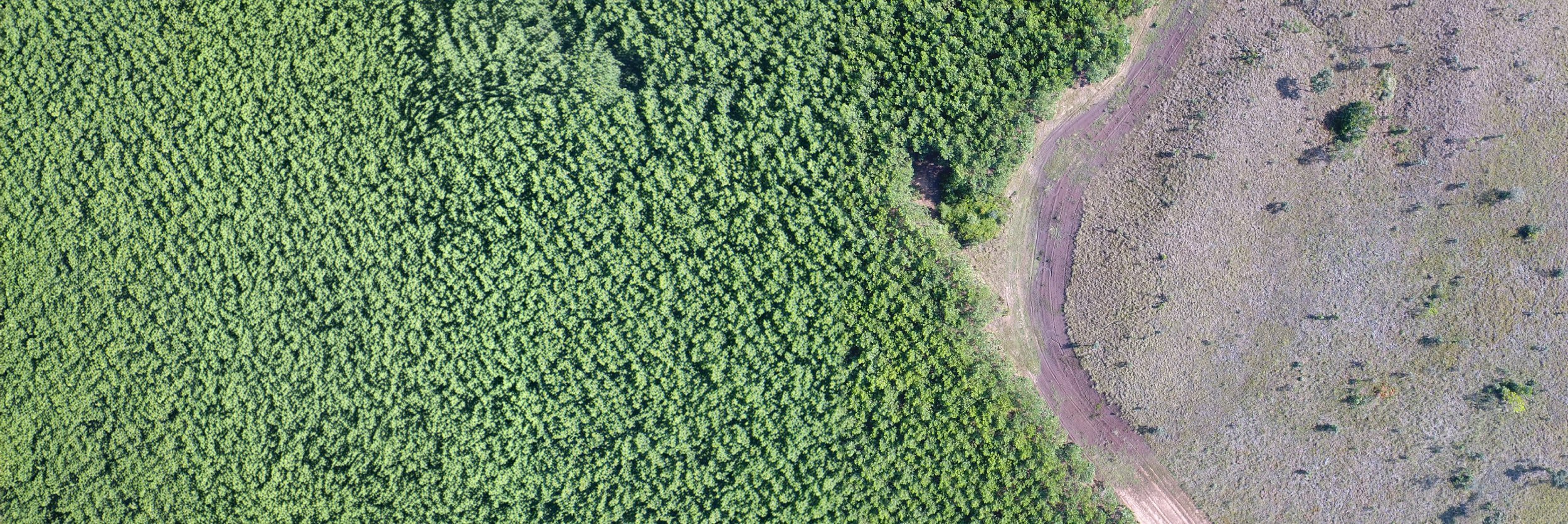
HomeAbout usAssessment of forest plantation growth by drone, Colombia

Project

Assessment of forest plantation growth by drone, Colombia

About this project

Large-scale forestry projects are challenging to map and monitor from the field. Therefore, data collection by drone flying was provided to establish a forest inventory of the plantation area. High resolution areal images were collected and analyzed to determine plantation outlines and standing timber volume. Common field plot measurements were conducted additionally for checkpoint data and further verification of the data gained by drone data collection and analysis. This facilitated a precise orthorectification of the landscape mosaic picture as well as statistical validation of the drone data. Based on that a digitial model of canopy, surface and terrain could be created. For monitoring and as a Basis for future Management activities Features such as Standing timber volume, number of trees, tree height, DBH (Diameter breast height) and mean annual increment (MAI) were determined.

More information about our drone services and the possibility to save up to 30% of your forest inventory costs can be found here.

Project Type

Forest inventory and assessment of growth of forest plantation by drone

General Project Information

Our key services

Acquisition of aerial drone images and data

Generating digital models on canopy and terrain

Creation of maps and determination of forest status and growth figure

Plantation, road, bare land

Our Work on Site

Partners

German Rodriguez Forliance Staff
WHAT CAN WE DO FOR YOU?

German Rodriguez
Senior Director Nature-Based Solutions

Downloads

Get access to helpful information