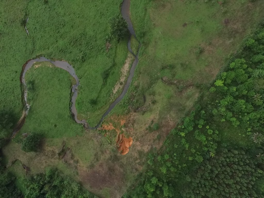
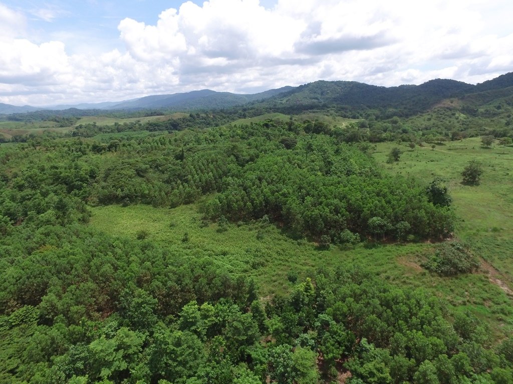
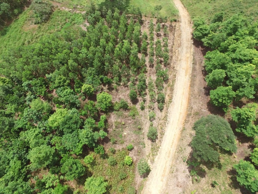
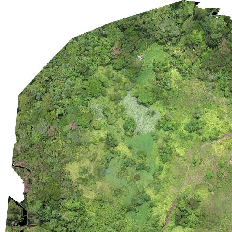
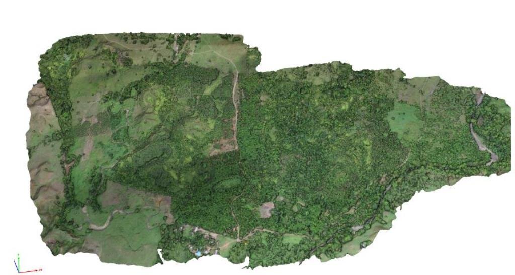
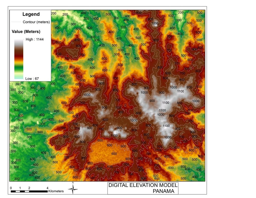
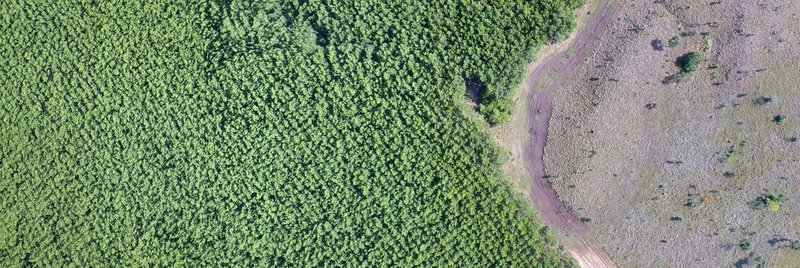
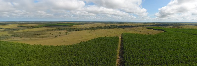
We conducted a detailed data collection and analysis project in Panama, covering five individual fincas and a total area of 500 hectares. Using drone and differential GPS technology, we acquired high-resolution aerial images, creating a precise mosaic of the landscape with a resolution of 5cm/pixel. This allowed for accurate land use mapping, differentiating between productive and unproductive areas with unparalleled precision compared to traditional satellite imagery.
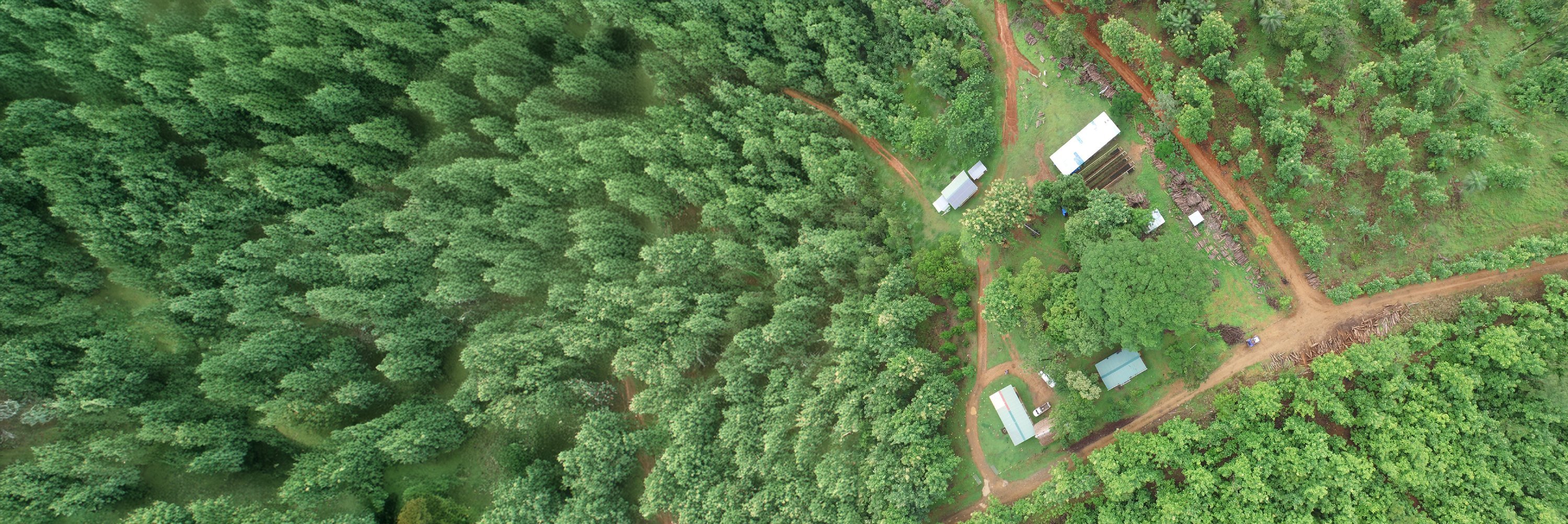
DRONE-BASED LAND USE MAPPING IN PANAMA
We utilized drone and GPS technology to conduct high-precision land use mapping over 500 hectares in Panama. Our services provided accurate differentiation of productive and unproductive areas, enabling effective land management and planning.
