A field biologist on mangrove biodiversity monitoring in Mexico
August 10, 2026
Expert Interviews, Project Updates
What does it take to understand whether a restored mangrove is truly recovering? Field biologist Elder Ruiz Velásquez takes us behind the biodiversity baseline of the Mangrove Restoration Mexico Project—from early-morning surveys and hidden wildlife signals to the local knowledge shaping long-term conservation decisions.
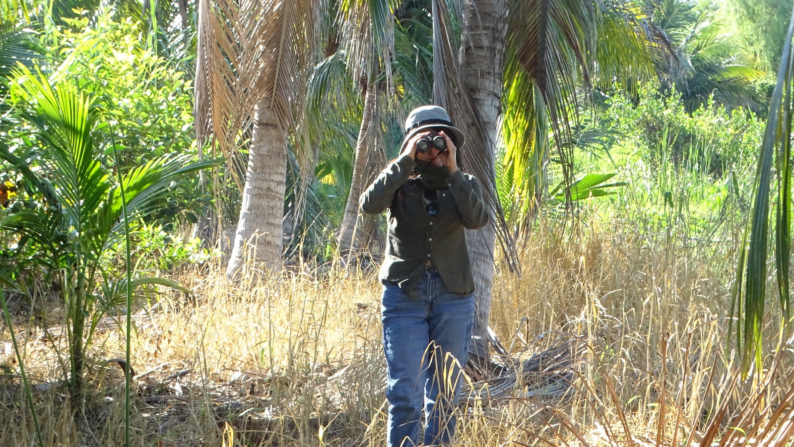
In our recent project update, “105 Species and Counting: The Life of Úrsulo Galván’s Mangroves”, we shared the first findings from the biodiversity baseline conducted at the Mangrove Restoration Mexico Project in Tabasco. During the first field survey in May 2026, the team recorded 105 species across the mangroves, reforested plots, tular grasslands and lagoon.
Those findings tell us what the team documented. But they do not capture the experience behind the data: how monitoring sites are selected, what signs biologists look for, why local knowledge matters or how today’s observations can guide decisions years from now.
To take readers behind the results, we spoke with Elder Ruiz Velásquez, the technical lead responsible for the wildlife biodiversity baseline. With more than 20 years of experience in wildlife ecology, Elder coordinated the field surveys, supervised data quality and helped translate the observations into a reference point for the project’s long-term management.
Meet the scientist behind the biodiversity baseline
Elder, could you introduce yourself and explain your role in the project?
I am a biologist and consultant specialising in ecology and wildlife, with more than 20 years of experience in wildlife research and management. My work focuses particularly on the ecology of wildlife populations and communities, including their structure, abundance and demographic patterns.
For the Úrsulo Galván biodiversity baseline, I serve as the technical lead for the wildlife component. I coordinate and supervise the ecological surveys, ensure the quality of the data and make sure the results meet the technical and regulatory requirements of the project.
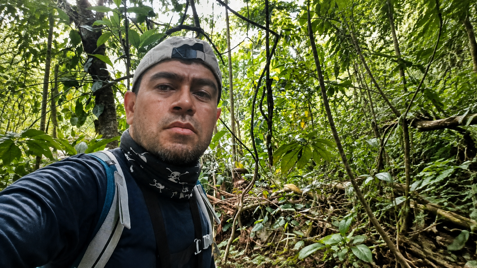
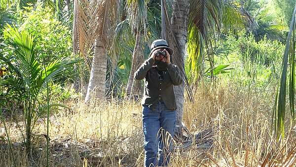
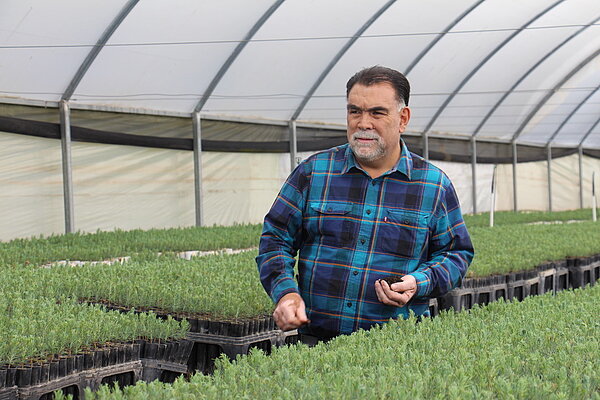
Elder Ruiz Velásquez, technical lead for the project’s wildlife biodiversity baseline.
What makes this particular project meaningful to you?
The project is located where two very different forces meet. To the west lies the industrial development around the Dos Bocas refinery. To the east lies the Pantanos de Centla Biosphere Reserve, one of Mexico’s most important wetland systems.
Ecologically, the Úrsulo Galván Ejido can function as a buffer between industrial development and the protected area. It may also help maintain connectivity for wildlife in an increasingly fragmented landscape.
That makes the project particularly interesting to me. We are working in an area under considerable development pressure, but also in a landscape with exceptional biodiversity and significant conservation value.
How would you describe the project area to someone who has never visited it?
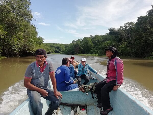
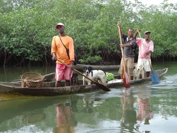
Water is the defining element. Boats are the main form of transport, and many people depend on fishing and the resources provided by the lagoon.
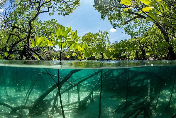
You see trees rising directly from the water. These are the mangroves. Their branches provide habitat for many bird species, while their exposed roots create shelter and nursery areas for fish, crustaceans and other aquatic wildlife.
There is also a striking transition in the vegetation. Red mangroves grow along the water’s edge with their characteristic stilt roots, while white mangroves appear further inland. The constant sound of insects and birds accompanies you throughout the fieldwork.
What a biodiversity baseline can—and cannot—tell us
How would you explain a biodiversity baseline to a non-scientist?
A biodiversity baseline is like a photograph of the animals living in a particular place at a particular moment. By taking that photograph now, we can compare it with future observations and understand what has changed.
It is important to recognise that a baseline is a starting point. It does not, by itself, prove that restoration has already improved biodiversity. Its value lies in establishing the reference against which future changes can be measured.
Without that reference, it becomes much harder to distinguish between natural variation, the effects of restoration and changes caused by external pressures.
What exactly are you documenting?
We are systematically recording the current condition of the wildlife communities across the project area. This includes:
- Species richness and composition
- Relative abundance and dominance
- Differences between mangrove, tular, lagoon and reforestation habitats
- The presence and distribution of protected species
- Introduced species that may affect native wildlife
- Habitat conditions and potential sources of pressure
In future monitoring rounds, we will be able to compare these indicators with the baseline. This can help us identify whether the ecosystem remains stable, whether sensitive species are returning or whether an external pressure is changing the composition of the wildlife community.
Why is this area ecologically important beyond its ability to store carbon?
The area supports a diverse mixture of habitats within a relatively small landscape. Mangrove stands, reforested areas, tular vegetation and the lagoon each support different groups of species.
It also provides several ecosystem functions at the same time. Mangroves offer shelter and feeding areas for wildlife, support local fisheries, retain sediments, filter runoff and help stabilise soils. They can reduce erosion and dissipate some of the energy associated with storms and waves.
Its location also matters. The area can contribute to ecological connectivity between surrounding habitats. That function becomes increasingly important where industrial development and land-use change are fragmenting the wider landscape.
Inside the mangrove biodiversity fieldwork
Which methods are used to conduct the baseline?
We combine direct and indirect monitoring methods because no single method can capture the full diversity of wildlife in a mangrove ecosystem.
Direct methods include observing birds and diurnal mammals with binoculars, recording birds, amphibians and nocturnal animals with automated acoustic equipment, and temporarily capturing small mammals, fish or crustaceans for identification and measurement before releasing them.
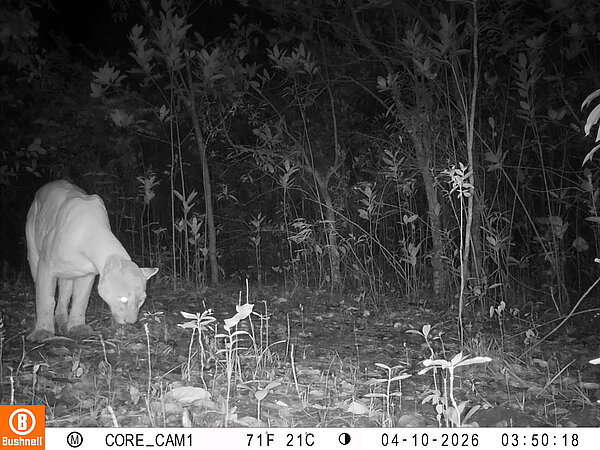
Indirect methods turn us into detectives. We look for the signs animals leave behind: footprints, droppings, nests, burrows, feathers, feeding sites and movement routes. Camera traps also allow us to record medium-sized and large mammals without needing to be present.
Using several methods together helps us document species that would otherwise remain undetected.
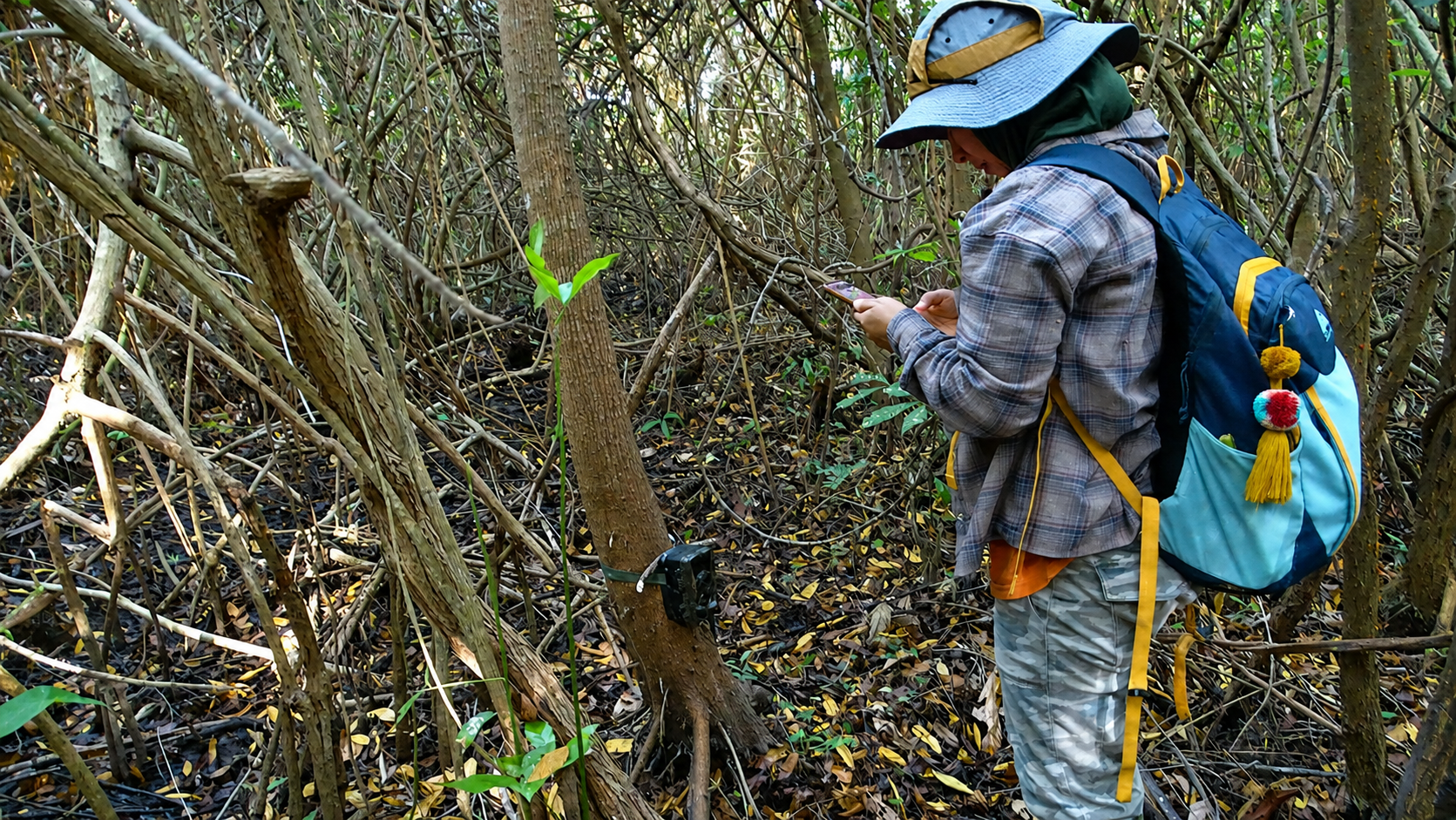
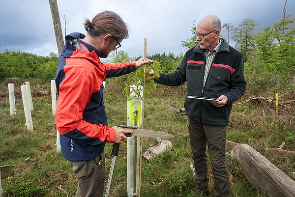
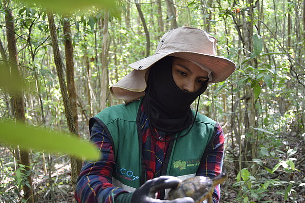
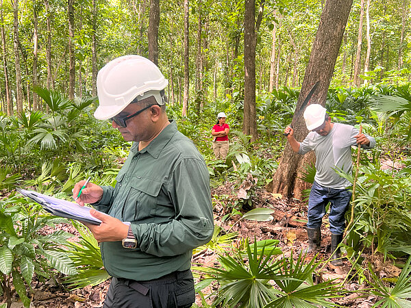
A member of the biodiversity team checks monitoring equipment installed within the project area.
How do you decide where to monitor?
The monitoring sites must represent the different environments found within the ejido. We therefore establish fixed sampling points across the mangroves, lagoon, tular and reforestation areas.
We consider accessibility and safety, but also signs of animal activity: trails, footprints, feeding areas, burrows and resting places. For aquatic monitoring, we select channels and open-water areas with different depths and substrates.
The sites are georeferenced so that future surveys can return to the same locations. This consistency is essential if we want the data to be comparable over time.
Local knowledge is also crucial. Fishers, ejidatarios and other residents know where animals regularly move, feed or gather. Their observations help us select more meaningful sampling sites and reduce potential blind spots in the survey design.
What does a typical field day look like?
We start at around 5:30 in the morning. The temperature is still relatively cool, and many birds and mammals are at their most active.
After breakfast and coffee, we meet the local guides, review the plan and adjust it according to the weather and field conditions. We then load the camera traps, acoustic recorders, small-mammal traps, fishing nets, binoculars and field notebooks onto the boat.
Once we reach the sampling areas, the team divides into groups. Some install or inspect camera traps. Others observe birds, record calls, search for animal signs or sample fish and crustaceans in the lagoon.
By midday, the heat makes the work increasingly difficult. We return to the base, secure the equipment, review and back up the data, and prepare everything for the following day.
What makes biodiversity monitoring in mangroves particularly challenging?
Moving through a mangrove is physically demanding. We walk long distances through deep, slippery mud while dealing with high temperatures, extreme humidity and mosquitoes.
Access also changes with the tides. Dense vegetation and aerial roots make it difficult to transport equipment, while turbid water can limit the direct observation of aquatic species. We must also remain aware of crocodiles, snakes and rays.
The monitoring design therefore has to remain adaptable. Field conditions can change quickly, and close coordination with local guides is essential.
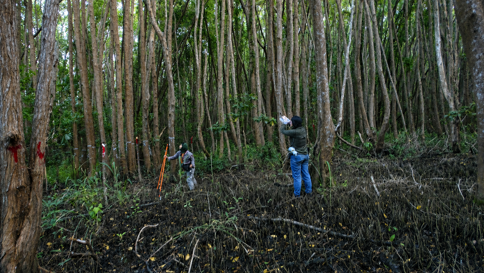
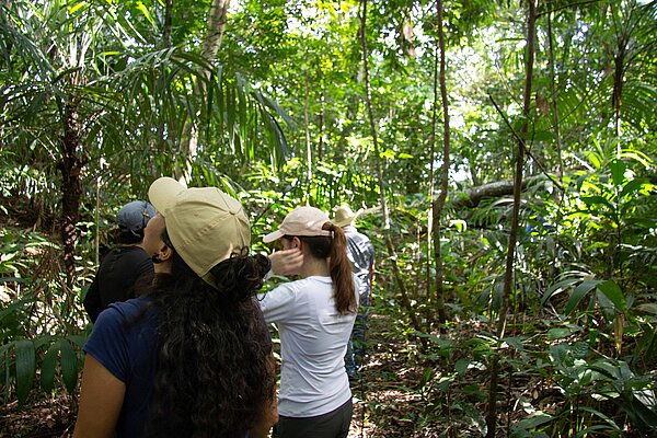
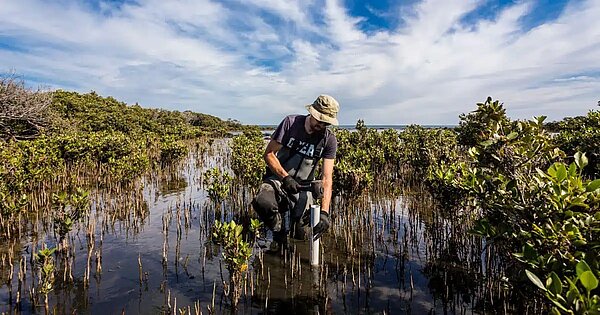
Mangrove biodiversity monitoring requires the team to work across dense vegetation, exposed roots and difficult terrain.
Reading species as signals of ecosystem health
Which findings have stood out to you so far?
The first survey recorded 105 species, including 74 bird species and five species listed under Special Protection in Mexico’s NOM-059 standard. We also documented introduced species that will require continued monitoring.
But fieldwork is not only about seeing animals directly. We recorded tracks, nests, feathers, droppings, feeding marks and other signs of wildlife activity.
One observation that particularly interested me was a fresh feeding site used by a neotropical otter along one of the channels.
The manatee remains a species I would still like to document. Community members have reported seeing manatees in the wider area, but we have not yet confirmed their presence through the baseline surveys. Keeping that distinction clear is important: local observations help guide our work, while the monitoring data allow us to document presence systematically.
Can certain species tell you whether the ecosystem is healthy?
Some species can help us interpret particular aspects of ecosystem condition, especially when monitored repeatedly over time.
Morelet’s crocodile (Crocodylus moreletii), for example, is a top predator whose population can provide information about food-web integrity and habitat condition. Native fish such as the tropical gar (Atractosteus tropicus) and juil catfish (Rhamdia guatemalensis) can help us understand water quality and connectivity between aquatic habitats.
Wetland birds can also be informative. The snail kite (Rostrhamus sociabilis) depends strongly on aquatic snails, while the anhinga (Anhinga anhinga) requires sufficient fish availability and suitable water conditions for hunting.
Introduced species provide a different type of signal. If species such as Nile tilapia or jaguar guapote become increasingly dominant, this could indicate ecological disturbance or growing competition with native fauna.
No single species can define the health of the entire ecosystem. The strength of the baseline lies in examining these indicators together and tracking how they change over time.
What would biodiversity recovery look like in practice?
Recovery is not simply about recording an ever-increasing number of species.
We would look for a more balanced and stable wildlife community: sensitive native species remaining present or becoming more frequent, introduced or highly dominant generalist species not expanding disproportionately, and populations showing greater stability across monitoring periods.
We would also expect the habitat itself to become more structurally complex—with more roots, nesting areas, feeding opportunities and stronger water conditions.
Ultimately, a healthier mangrove should be better able to absorb disturbances and recover from them without losing its essential functions.
Local knowledge as a scientific asset
How are community members and ejidatarios involved?
Community members participate as much more than guides. They hold knowledge built over generations of living and working in this landscape.
They help us identify wildlife routes, feeding areas, nesting sites and channels with high fish activity. They also share historical observations about changes in the mangroves, water, wildlife and land use.
Fishers know where species such as snook, tarpon and tropical gar are usually found. Residents have also shared observations of manatees, crocodiles and other animals that can be difficult to record during a limited survey period.
We can compare this knowledge with the scientific monitoring data. Combining the two creates a much more complete understanding of the ecosystem than either could provide alone.
Why is local participation essential for long-term conservation?
In my 20 years of experience, I have never seen a successful conservation project that did not have the support of local stakeholders.
Local people provide access, knowledge and legitimacy. More importantly, their involvement gives monitoring and conservation a life beyond the duration of a particular study or project phase.
When people see the project as their own, conservation is no longer an external intervention. The community becomes the main defender of the mangrove against future threats.
This is particularly important here because fish are not simply biodiversity indicators. Species such as snook, tarpon, tropical gar and bay snook support local food traditions, fisheries and household incomes. Ecological health and community wellbeing are directly connected.
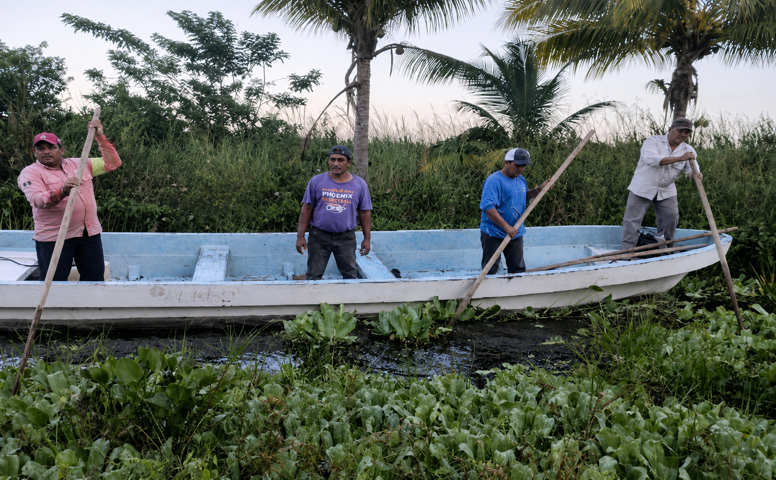
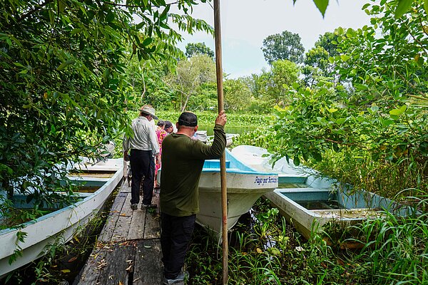
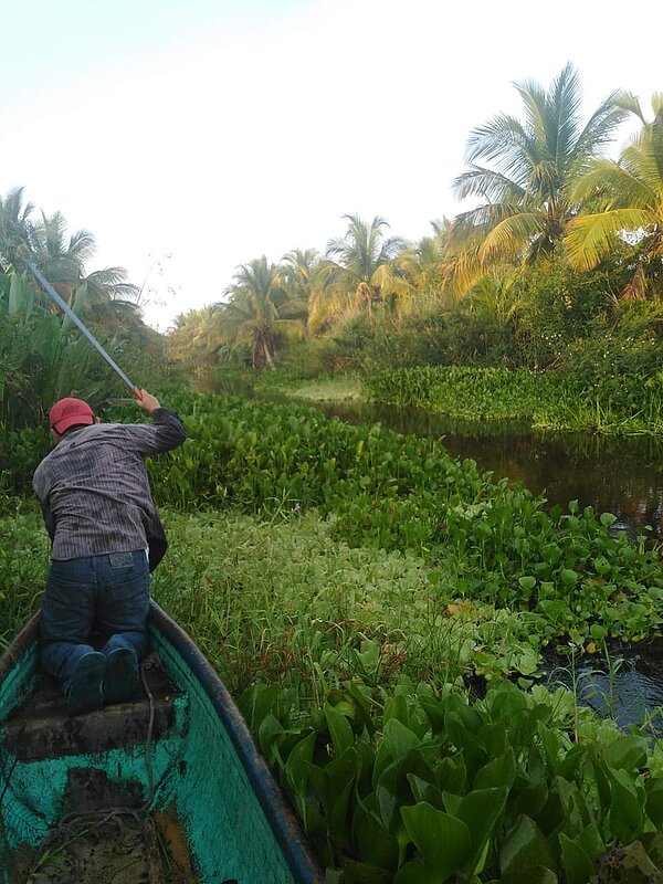
Local community members navigate through dense wetland vegetation by boat, using wooden poles to move across the shallow waterways.
From baseline data to adaptive management
How will the baseline influence future project decisions?
The baseline gives the project a quantitative reference point. Future monitoring can show whether the composition, abundance or dominance of species is changing significantly.
A sharp change could act as an early-warning signal. It might indicate pollution, habitat alteration, the expansion of an introduced species or another form of human pressure.
The project team can then investigate the cause and adjust its approach—for example by strengthening the protection of a critical habitat, changing the location of an activity or introducing additional mitigation measures.
If the indicators remain stable or improve, that can help demonstrate that the conservation and management measures are working. In this way, the baseline becomes an adaptive-management tool rather than a report that simply sits on a shelf.
Why should companies and project sponsors care about biodiversity baselines?
I compare a biodiversity baseline to the laboratory tests a doctor uses to understand a patient’s health. Without those tests, the doctor is working largely in the dark.
The same is true for climate projects. Without a baseline, companies may be supporting activities without having a reliable picture of the ecosystem’s starting condition. That makes it difficult to measure change, identify emerging risks or substantiate biodiversity outcomes.
A baseline does not remove ecological risk or guarantee a particular result. What it provides is greater certainty and more decision-useful evidence. It enables the project to detect deviations earlier, adjust its strategy and demonstrate outcomes more credibly to stakeholders.
For companies financing climate action, that evidence is essential if biodiversity is to be treated as a measurable project outcome rather than a general co-benefit.
How are climate action and biodiversity conservation connected in a mangrove project?
They are two sides of the same issue.
We cannot protect the climate effectively while degrading the ecosystems that capture and store carbon. A damaged mangrove can lose both its stored carbon and its ability to continue sequestering it.
At the same time, biodiversity cannot be protected over the long term without addressing climate change. Rising temperatures, changing water cycles, storms and other climate-related pressures affect the habitats on which species depend.
In Úrsulo Galván, protecting biodiversity also means protecting a blue carbon ecosystem. The local community, by protecting the mangrove, is simultaneously safeguarding wildlife, carbon storage, fisheries and its own resilience to climate impacts.
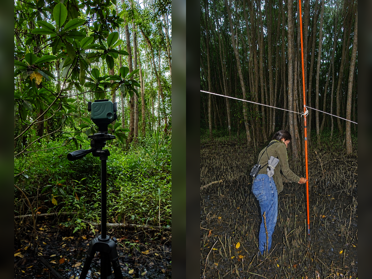
Biodiversity monitoring in the mangrove forest: field equipment records environmental data while a researcher conducts measurements among the mangrove roots.
Looking five, ten and twenty years ahead
Was there a moment during the fieldwork that captured why this work matters?
One of the most memorable moments was sitting beneath the mangroves and having breakfast with local participants. We shared coffee, food and experiences from our lives.
In moments like that, science becomes human. You understand that conservation is built through trust and mutual respect, not only through data.
I felt the same whenever community members became excited about the findings, asked questions or offered their support despite the heat and exhaustion. and Conservation becomes meaningful when the community makes it its own.
What would make you proud to see here in the future?
I would like to see the current project area covered by healthy, functional mangroves with a complex vegetation structure and even richer biodiversity.
I would be proud to see key species such as the manatee documented more frequently. But above all, I would like the mangrove to continue supporting the people who have lived here for generations.
That means sustainable and abundant fisheries, protection from storms and flooding, local income opportunities and a healthy environment in which people can build their future without needing to leave.
For me, the greatest success would be a restored mangrove that forms the foundation of a resilient and prosperous future for the community.
To learn more about the climate, biodiversity and community benefits of the project, explore the Mangrove Restoration Mexico Project.